
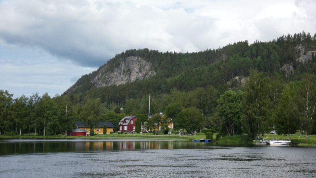
Stugun turistinfo
Traces of the inland ice
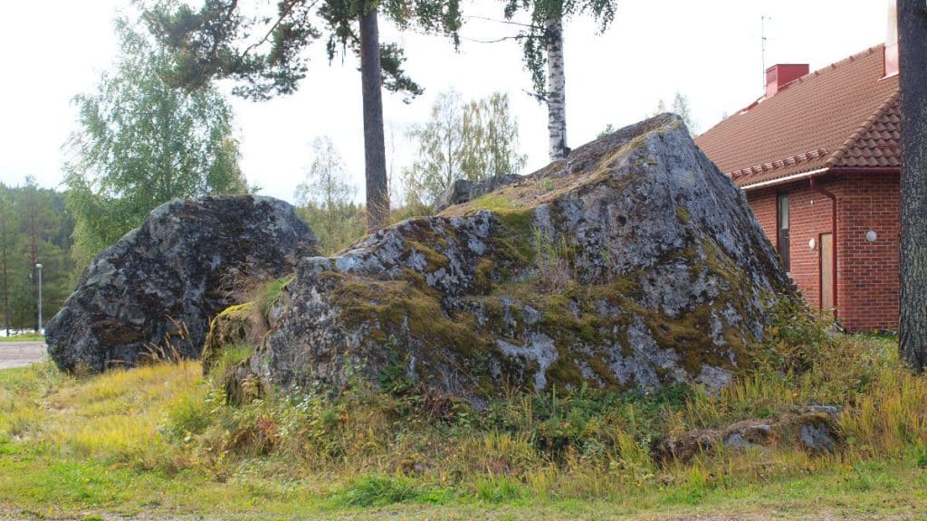
20,000 years ago a thick layer of ice covered Sweden. Thousands of years later the ice melted at full force here in Ragunda. When the packed ice broke up in Lake Lit-issjön west of Stugun vast quantities of water flowed at full force towards this place. The water carried off all the fine material leaving in its wake only large rocks and boulders.
Ice-free 10,000 years ago
About 20,000 years ago the thick inland ice covered the land that today is Sweden. In due course the ice melted. Geologists are not entirely certain but Ragunda was probably free from ice some 10,000 years ago.
When the inland ice melted the most here in Ragunda, many valleys and lakes were blocked up by ice. One of those lakes was Lit-issjön near Stugun.

Melting water carried away lighter material
When the ice blocking Lit-issjön melted vast quantities of water flooded the landscape at full force. In the area of Stugun, where the River Indalsälven is narrower, the water was compressed, and as the pressure increased so did the speed of the flow. The water washed away lighter material such as gravel and sand that helped wear down the bedrock. What remained were clean-washed large stones and boulders. At Nornan, Getgrottan and Döda fallet you can see giant boulders and at Döviken – Zorbcenter you can see a sandy plateau deposited by the melting water.

Ragunda rocks gone adrift
Geologists have found rocks from Ragunda in northern Germany and in the Netherlands. How did they get there, by lorry or boat perhaps? No, they were carried by the inland ice as it moved southwards. When the ice melted the stones and rocks sank to the bottom.
More information
Sites to visit on Theme Ice Age
More site photos

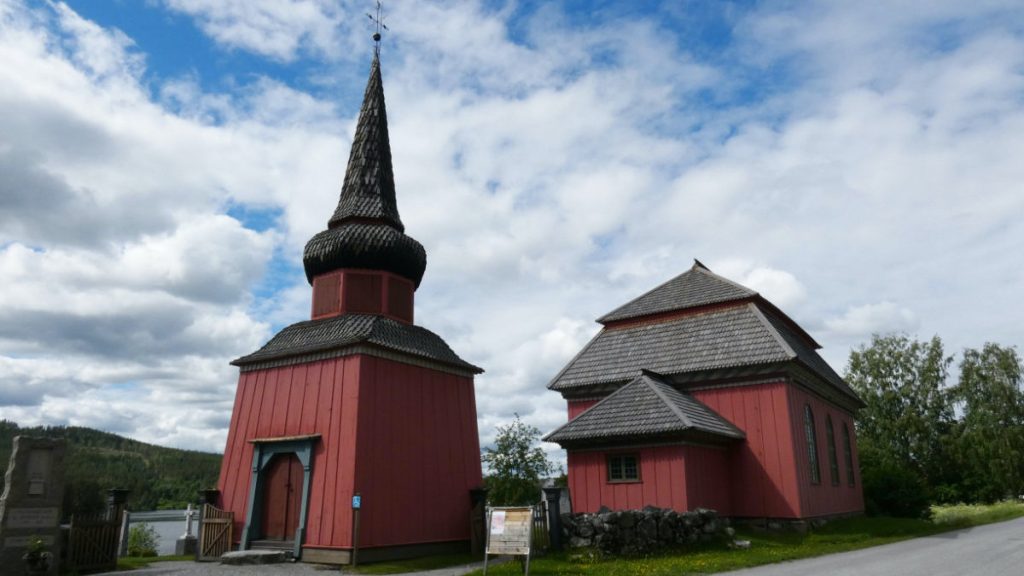
Places to visit nearby


Practicalities
Accessibility
See Accessibility.
Activities
Enjoy the fine views over the River Indalsälven or take a hike on the trail Stugubergetleden or another of Stugun´s hiking trails. Here is a tourist bureau offering information about events and activities, a map of the hiking trails and a playground for the children. See also Activities in Ragunda.
Eating and drinking
The nearest grocery store, café and eatery are in Stugun. See also Eating and drinking in Ragunda
Accommodation
Missing on site, but various options are available nearby. See Accommodation in Ragunda.
Getting here
SWEREF 99 TM N: 7 004 173 E: 530143
WGS84 N: 63,165532° E: 15,598491°